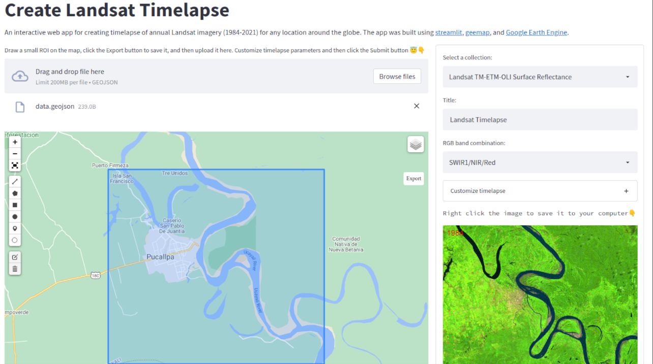
A streamlit app for creating timelapse of annual Landsat imagery (1984-2021)
 Qiusheng Wu
An interactive web app for creating timelapse of annual Landsat imagery (1984-2021) for any location around the globe. Built using streamlit, geemap, and Google Earth Engine. See a video demo here. Go to the app link below and select "Create Timelapse" from the left sidebar menu.
App: https://streamlit.gishub.org
GitHub: https://github.com/giswqs/streamlit-geospatial

Subscribe to my newsletter
Read articles from Qiusheng Wu directly inside your inbox. Subscribe to the newsletter, and don't miss out.
Written by

Qiusheng Wu
Qiusheng Wu
Dr. Qiusheng Wu is an Associate Professor in the Department of Geography & Sustainability at the University of Tennessee, Knoxville. He is also an Amazon Visiting Academic and a Google Developer Expert (GDE) for Earth Engine. His research interests include geospatial data science, remote sensing, and environmental modeling. Dr. Wu is particularly interested in utilizing big geospatial data and cloud computing (e.g., Google Earth Engine, Microsoft Planetary Computer, Amazon Web Services) to study environmental change, especially surface water and wetland inundation dynamics. His research has been funded by NASA, USDA, and the Department of Defense. Dr. Wu is an advocate of open science and reproducible research, having developed and published various open-source packages for advanced geospatial analysis and data visualization, such as geemap, leafmap, lidar, and segment-geospatial. Check out his open-source projects at https://open.gishub.org