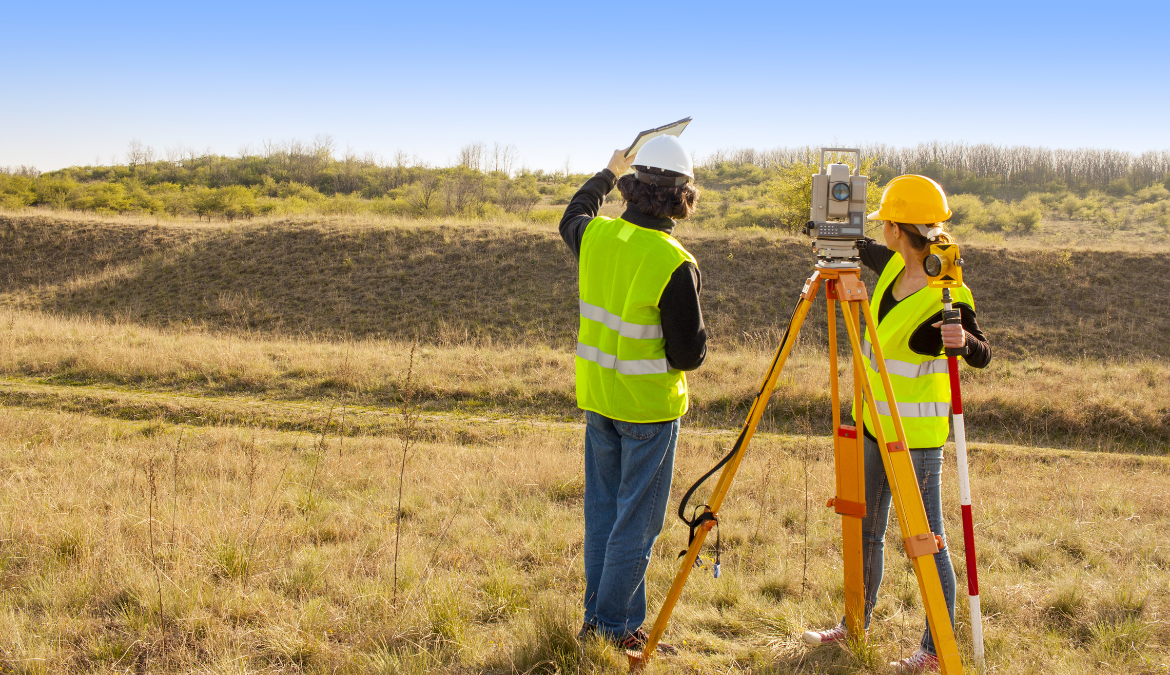
How is Total Station data collected and processed?
 sekar rhmwt
Total Station data collection and processing involve several steps. Here are the common steps involved:
Field Preparation:
Determine Control Points: Before measuring points in the area, determine control points that will be used as references. Control points typically have known coordinates.
Install Control Points: Install control points at strategic locations in the area to be surveyed. Control points are usually reflective targets such as stakes or specialized markers.
Check Weather Conditions: Ensure favorable weather conditions to obtain accurate measurement results. Avoid measuring during rain or conditions that affect visibility.
Measurement with Total Station:
Set up the Total Station: Prepare the Total Station by ensuring correct height and leveling. Also, check the battery and memory status.
Locate the Total Station: Place the Total Station at a stable and safe position. Ensure the instrument is not obstructed by objects like trees or buildings.
Select Measurement Points: Using the Total Station software, select the points to be measured, including control points and other desired details.
Angle Measurement: Using the Total Station, aim the instrument at the point to be measured and record the horizontal and vertical angles provided by the instrument.
Distance Measurement: Activate the electronic distance measurement (EDM) on the Total Station, aim it at the point to be measured, and record the displayed distance.
Repeat Measurement Steps: Repeat the measurement steps for other points that need to be surveyed.
Data Processing:
Transfer Data: After collecting the measurement data, transfer it from the Total Station to a computer or another device using a cable or wireless technology.
Data Processing: Use appropriate data processing software to analyze the collected data. The software can be used to calculate point coordinates, create maps, or generate 3D models of the surveyed area.
Validation and Correction: Check the collected data to ensure accuracy. If any errors or inaccuracies are found, make the necessary corrections.
Presenting Results: Once the data has been processed and validated, present the results in the desired format, such as maps, 3D models, or reports.
It is important to follow the user instructions provided for the specific Total Station model and the software being used. Additionally, consider factors like field conditions, visibility, and measurement accuracy to obtain reliable results.
Subscribe to my newsletter
Read articles from sekar rhmwt directly inside your inbox. Subscribe to the newsletter, and don't miss out.
Written by
