Lost in Translation: My Adventure Across UTM Zones in Uganda
 Daniel Bugingo
Have you ever found yourself so utterly baffled by your own expertise that you question everything you thought you knew? Well, pull up a chair and join me on a geographical comedy of errors as I recount my first real-life experience of physically moving from one “UTM Zone” to another. Yes, it’s as enlightening — and as confusing — as it sounds.
The Assumption
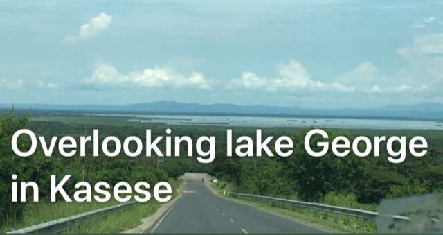
For years, I harbored the belief that Uganda, my beloved homeland, was neatly tucked within UTM zones 36N and 36S. This geographic certainty was as solid as a rock — or so I thought. One fateful day, armed with my GPS and an inflated sense of confidence, I ventured into the Kasese District for a site survey. Little did I know, my rock-solid geographic certainty was about to crumble.
The Great Confusion
Upon returning to my desk, I eagerly embarked on the meticulous process of data analysis. I had collected raw data during my survey and was ready to see my efforts materialize into beautifully plotted points on the map. But what did I get instead? A chaotic mess. My points were strewn all over the place, some even landing in random locations outside Uganda. Was I charting a new course to the moon?
Hours passed, and my confusion morphed into frustration. How could this be happening? I’ve been doing GIS work for years. My maps have always been pristine, my points perfectly plotted. Had my GPS conspired against me? Was I caught in a real-life episode of “The Twilight Zone”?
The Mystery of the Rogue Coordinates

My suspicion began during data collection when my GPS Eastings started displaying values that seemed plucked from a science fiction novel. My trusty GPS, which had never failed me before, was now showing coordinates that made no sense. The data, it seemed, had taken on a life of its own, leading me down a rabbit hole of trial and error.
Trial and Error: A Comedy of Errors
Picture this: me, surrounded by maps, charts, and a very perplexed expression, attempting to decode the mystery. I re-checked my equipment, re-plotted the points, and even toyed with the idea of a global conspiracy aimed at undermining my GIS prowess. Just as I was about to throw in the towel, a lightbulb moment struck.
The Grand Revelation
After much fumbling and bumbling, I finally realized that some parts of western Uganda actually lie within UTM zones 35N and 35S. Yes, Uganda, that sneaky trickster, spans more UTM zones than I had ever imagined. My geographic certainty had been as fragile as a house of cards.
The solution was straightforward: I needed to customize my projection system to accommodate my coordinate values. And just like that, my maps started making sense again. Relief washed over me, mingled with a touch of guilt for not considering this possibility sooner.
The Aftermath
This realization was a humbling reminder that no matter how experienced you are, there’s always something new to learn. Even seasoned GIS professionals can get lost — quite literally — in the intricate world of geographic coordinates. My adventure across UTM Zones taught me that the learning process never truly ends.
The Moral of the Story
So, fellow GIS enthusiasts, the next time your GPS starts showing rogue coordinates, remember my tale. Don’t immediately assume a global conspiracy or an extraterrestrial interference. Sometimes, it’s just a matter of crossing into a new UTM Zone. Keep an open mind, embrace the unexpected, and always be ready for a good laugh at your own expense.
Feel free to share your own stories of GIS mishaps and discoveries in the comments. Let’s navigate the chaos together and turn our geographic blunders into learning opportunities.
Subscribe to my newsletter
Read articles from Daniel Bugingo directly inside your inbox. Subscribe to the newsletter, and don't miss out.
Written by

Daniel Bugingo
Daniel Bugingo
Technical writer and G.I.S Analyst with nearly a decade of experience dealing with spatial data generating maps and extracting insightful patterns from a given spatial dataset.