Wings Engine: The No-Code 3D Mapping Magic for Smart Cities
 Samuel M
As the global urbanization process accelerates, smart cities have become a key strategy for improving city management efficiency and enhancing residents’ quality of life. Amidst this wave, Geographic Information Systems (GIS) technology has played a crucial role, bringing unprecedented changes to urban management. Let’s dive into Wings Engine — a tool that’s making a significant impact in the development of smart cities!
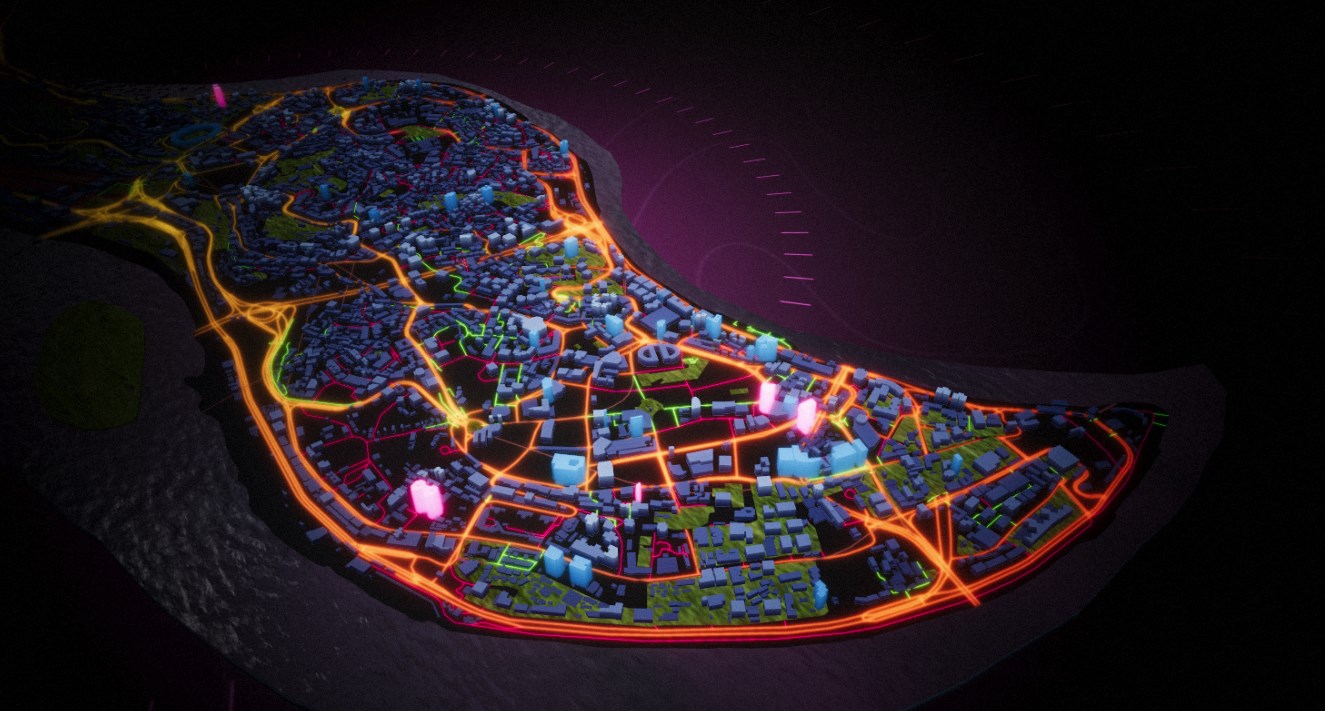
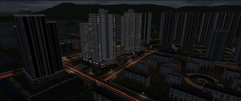
One of the standout features of Wings Engine is its no-code editing capability. Imagine being able to create complex 3D GIS scenes with just simple drag-and-drop and click operations, without writing any complicated code! This not only allows those who are less tech-savvy to easily get started but also significantly boosts work efficiency. Whether it’s displaying city terrain, 3D buildings, or real-time data, Wings Engine has got it covered, offering intuitive visual experiences and practical data support for smart city managers.

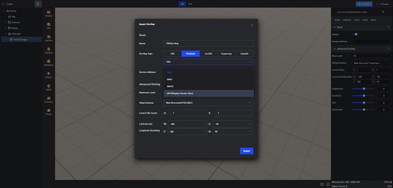
When it comes to data, one major challenge for smart cities is integrating data from various sources. Here, Wings Engine excels. It supports multiple common GIS data formats, such as TMS, WMS, and WMTS, allowing seamless integration and display of various types of geographic data. What’s even cooler is that it can handle real-time data, which is fantastic for applications like traffic management and environmental monitoring. Imagine being able to see real-time data on traffic flow and air quality, making your decision-making process much more informed!

Wings Engine proves its worth across various areas of smart cities. For example, in smart transportation, it enables real-time monitoring of traffic conditions and visualizes road conditions and vehicle flow through 3D maps. This not only helps with traffic scheduling and optimization but also provides critical data support in emergencies. In environmental monitoring, Wings Engine can integrate various environmental data, such as air quality, water quality, and noise levels, allowing city managers to keep track of urban environmental conditions and safeguard public health. When it comes to urban planning, Wings Engine’s 3D modeling and visualization capabilities enable planners to assess the effects of different proposals and develop more scientifically-based strategies.

Looking to the future, as smart cities continue to evolve, Wings Engine is set to incorporate more intelligent technologies, such as machine learning and artificial intelligence, to assist city managers in deep data analysis and forecasting. With the proliferation of IoT devices, Wings Engine will also be able to integrate more real-time data sources, providing comprehensive dynamic data support for cities. In summary, Wings Engine is not just a powerful GIS tool; it is a valuable ally for smart cities, offering robust support for sustainable urban development.
Subscribe to my newsletter
Read articles from Samuel M directly inside your inbox. Subscribe to the newsletter, and don't miss out.
Written by

Samuel M
Samuel M
Industrial designer, committed to sharing the most cutting-edge 3D creation tools and techniques to allow more people to experience the unlimited possibilities of creativity.