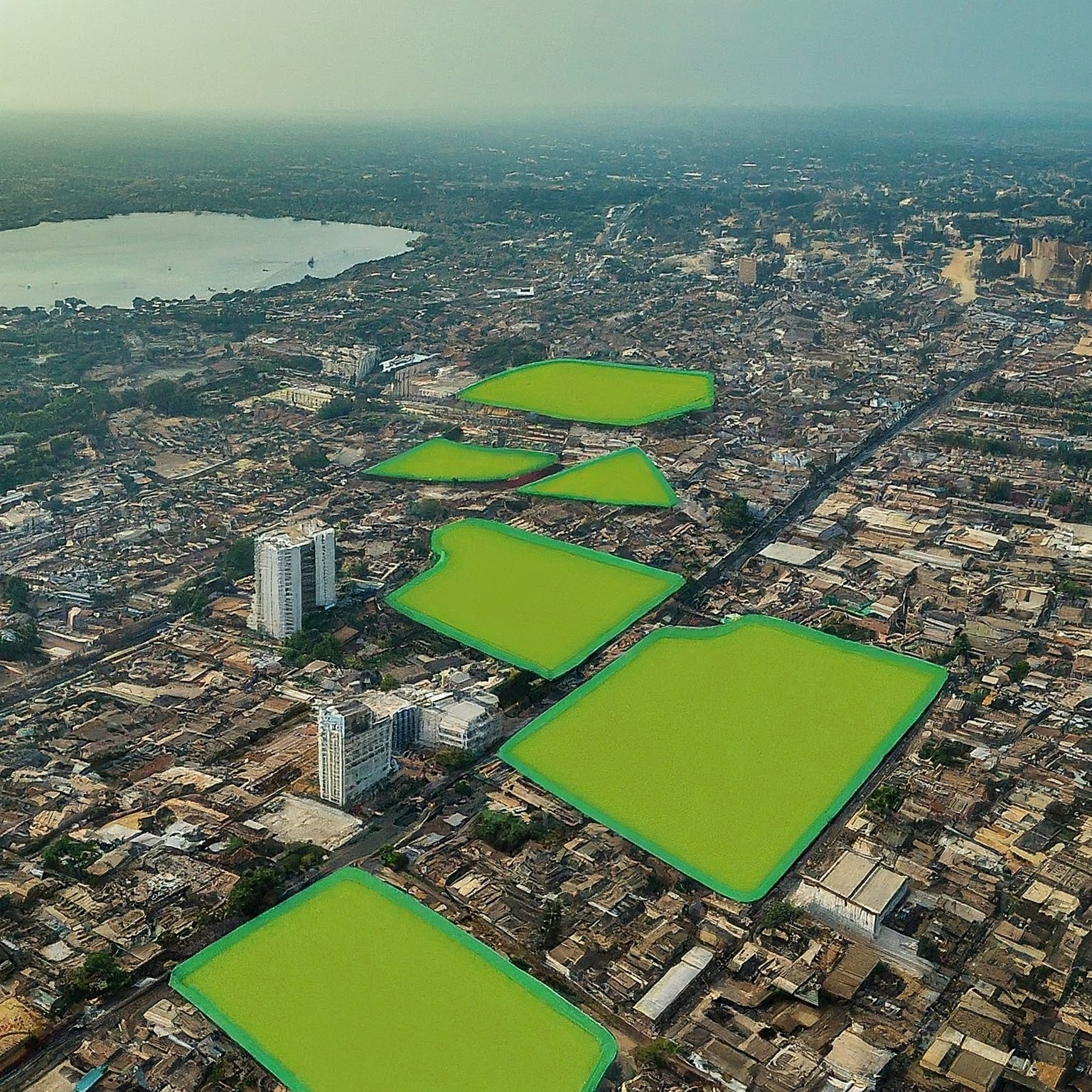
Mapping Green Spaces in Lagos, Nigeria
 Hafsah Anibaba
Introduction
Background and Motivation
Objective of the Study
Methodology
Data Sources
Satellite Imagery (e.g., Landsat, Sentinel-2)
City Boundary Data
Tools and Libraries Used
Google Earth Engine
Geemap
Image Preprocessing
Cloud Masking
Image Clipping
Vegetation Identification
Calculation of NDVI
Thresholding for Green Space Classification
Results
Mapping of Green Spaces
Area and Distribution Analysis
Temporal Changes (if applicable)
Visualization
Interactive Map using Geemap
Key Features and Interpretation
Discussion
Implications of Green Space Distribution
Urban Planning Considerations
Potential Areas for Further Research
Conclusion
Summary of Findings
Limitations of the Study
Recommendations
References
- Cited Literature and Data Sources
Appendices (Optional)
Code Snippets
Additional Maps or Graphs
Subscribe to my newsletter
Read articles from Hafsah Anibaba directly inside your inbox. Subscribe to the newsletter, and don't miss out.
Written by

Hafsah Anibaba
Hafsah Anibaba
Imagine a world where everyone has access to reliable, affordable energy, powered by clean, renewable sources. 🌎 A world where climate-sustainable tools and technologies are the norm, protecting our planet for generations to come. That's the future I'm committed to building. As a geophysicist with a passion for data science and AI, I'm learning to use my skills to build innovations that will contribute to a more equitable and sustainable energy landscape. 💡