GIS and 3D technology help urban green space planning
 Samuel M
As an important part of the urban ecosystem, urban green space plays an irreplaceable role in improving the ecological quality of the city and the quality of life of residents. Japan, as a highly urbanized country, faces the challenges of dense population and limited space. Therefore, it is particularly important to rationally plan and utilize urban green space resources. By combining GIS (Geographic Information System) data with 3D scene technology, the layout of urban green space, gardens and public spaces can be planned more effectively, and the optimization management of urban green space resources can be achieved.
The role of GIS data
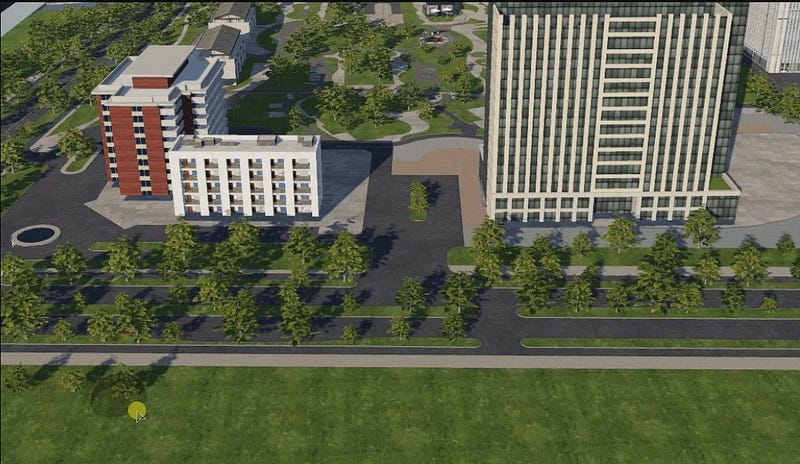
GIS technology can provide accurate geographic information to help planners conduct effective resource surveys and monitoring. In urban green space planning, GIS can conduct detailed analysis of the distribution of urban buildings, road networks, and the current status of green space, providing a scientific basis for green space planning. For example, through GIS technology, the distribution and coverage of urban green space can be simulated, and the impact of different planning schemes on urban ecology and the quality of life of residents can be evaluated.

Application of 3D scene technology
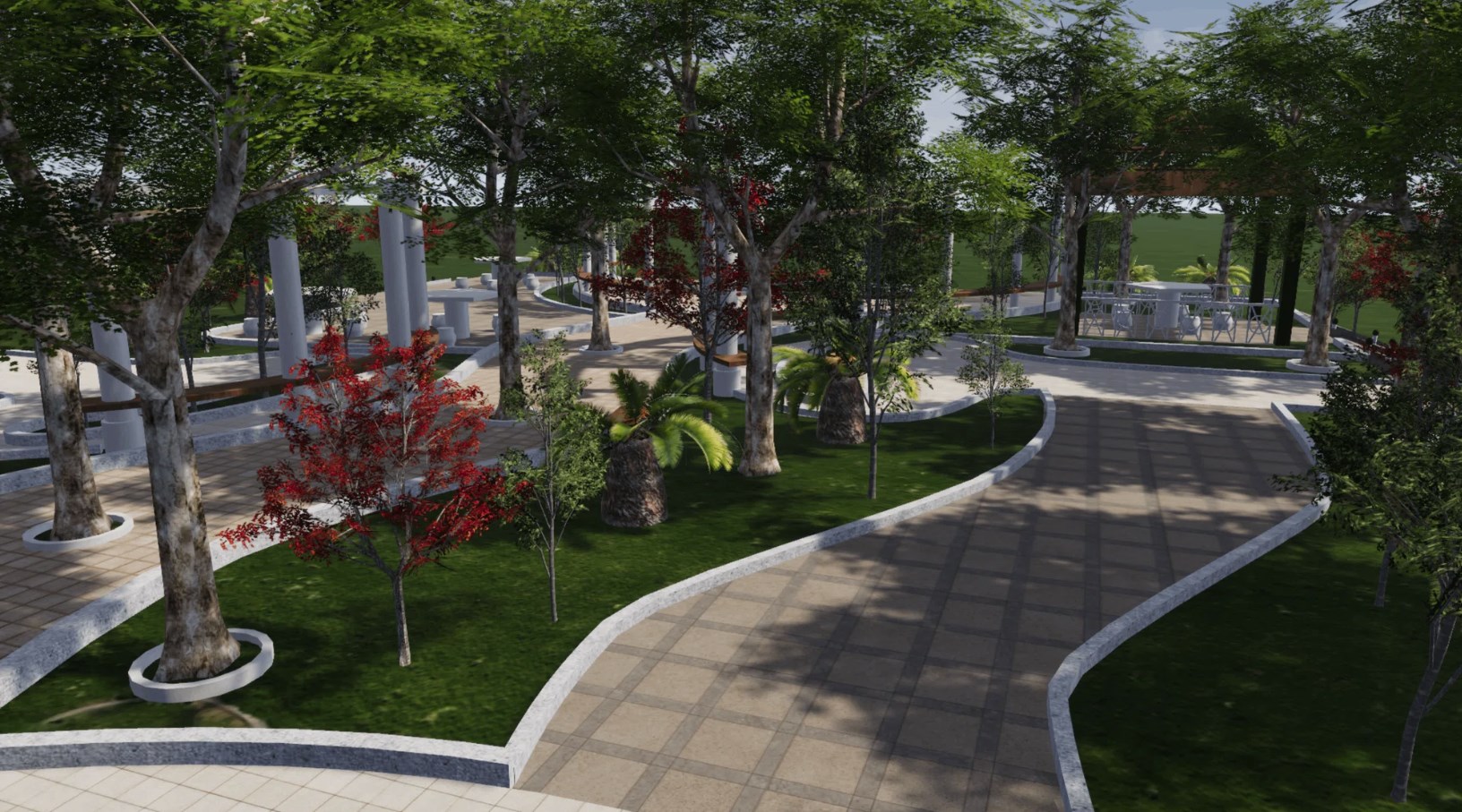
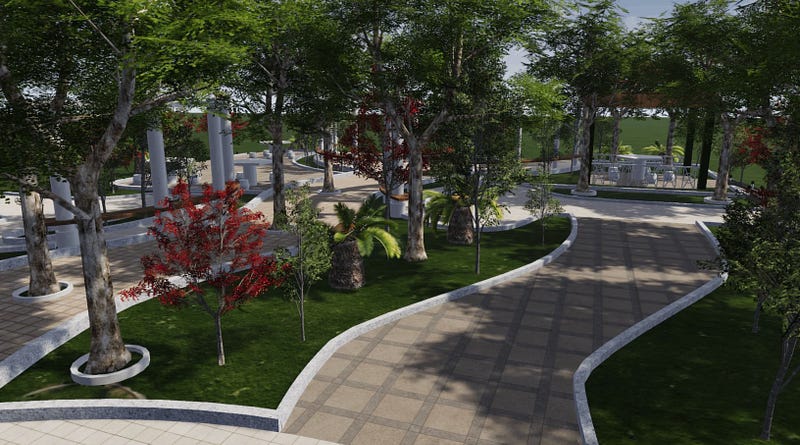
3D scene technology provides an intuitive visualization method for urban green space planning. By constructing a three-dimensional model of urban green space, planners can intuitively understand the spatial layout of green space and the relationship between green space and the surrounding environment. This technology is particularly suitable for showing the location and form of green space in urban space, which helps to better understand the function and value of green space.

Application of Wings Engine
As an interactive 3D scene creation platform, Wings Engine provides strong technical support for urban green space planning. It can realize complex 3D interaction without coding, allowing planners to easily create and modify 3D models of urban green space. Wings Engine’s real-time rendering capabilities and multi-source data integration make urban green space planning more intuitive and efficient. With Wings Engine, planners can evaluate the feasibility of green space planning and optimize design solutions in a real 3D environment.

Practical Cases in Japan
Japan has rich practical experience in urban green space planning. For example, Tokyo made full use of GIS and 3D scene technology when formulating the Tokyo 2040 plan. The plan proposed the urban greening strategic goal of “creating a city with green waters and green mountains in all seasons”, and improved the ecological quality of the city and the quality of life of residents through measures such as protecting existing green spaces, creating urban blue-green space systems, and protecting and innovating urban agriculture.
Conclusion
By combining GIS data with 3D scene technology, Japan has achieved remarkable results in urban green space planning. The application of this technology not only improves the accuracy and efficiency of planning, but also provides residents with more high-quality ecological products, and improves residents’ sense of gain, happiness, and security in the beautiful ecological environment. With the continuous advancement of technology, the application of GIS and 3D scene technology in the field of urban green space planning will be more extensive and in-depth in the future, making greater contributions to improving the quality of urban ecology and the quality of life of residents.
Subscribe to my newsletter
Read articles from Samuel M directly inside your inbox. Subscribe to the newsletter, and don't miss out.
Written by

Samuel M
Samuel M
Industrial designer, committed to sharing the most cutting-edge 3D creation tools and techniques to allow more people to experience the unlimited possibilities of creativity.