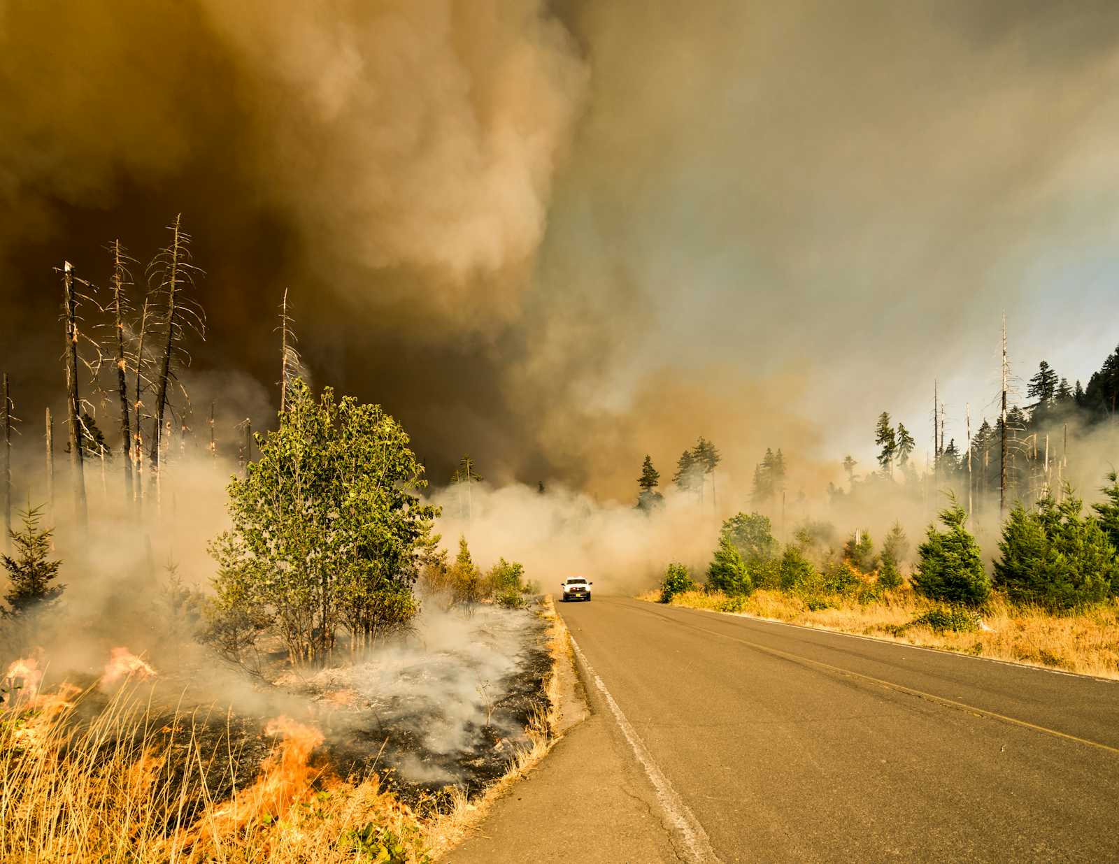
New sensors co-developed by Google aim to detect wildfires everywhere much faster
 Nettribe Media
Google is taking a significant step in wildfire detection with the development of FireSat, a new constellation of satellites designed to spot wildfires faster and with greater accuracy. FireSat, expected to launch in early 2025, will be capable of detecting fires as small as 5x5 meters within just 20 minutes, which is a major improvement over current methods that rely on ground-based observations and less sensitive satellite systems.
The technology, developed in collaboration with Muon Space, the Earth Fire Alliance, and the Environmental Defense Fund, uses advanced AI and custom infrared sensors to compare real-time satellite data with historical images. This allows the system to not only detect new wildfires quickly but also analyze factors like local weather conditions and infrastructure to provide detailed, actionable data to emergency responders. FireSat is also designed to build a global archive of wildfire behavior, aiding scientists in improving fire prediction models.
This initiative is part of Google's broader efforts to combat climate-related disasters. The company previously launched AI-powered wildfire boundary tracking in over 20 countries and recently introduced FireBench, an open-source dataset aimed at improving wildfire research. As wildfires continue to grow more severe, early detection systems like FireSat could be crucial in preventing small fires from turning into catastrophic events.
Subscribe to my newsletter
Read articles from Nettribe Media directly inside your inbox. Subscribe to the newsletter, and don't miss out.
Written by
