From 2D to 3D: How GIS and 3D scenes are changing community planning
 Samuel M
With the acceleration of urbanization, the planning and development of communities as the basic units of cities have become increasingly important. The application of GIS (Geographic Information System) and 3D scene technology provides new perspectives and tools for community planning and development. In Japan, the application of this technology has demonstrated its unique value in many community development projects.
1. Technical application background
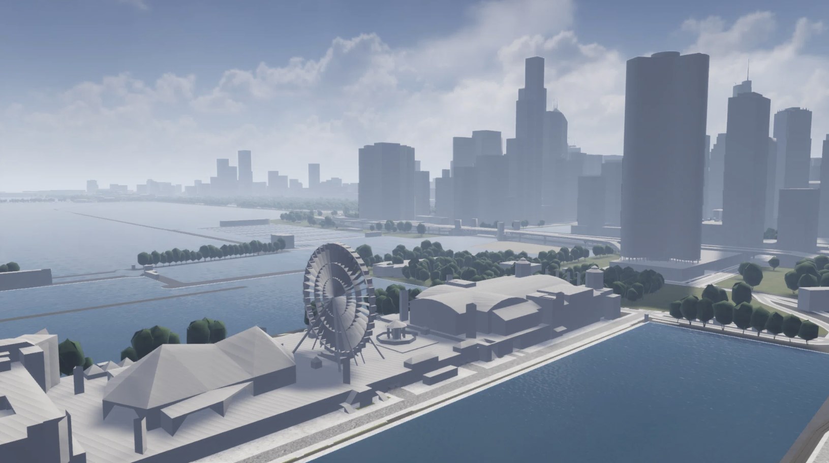
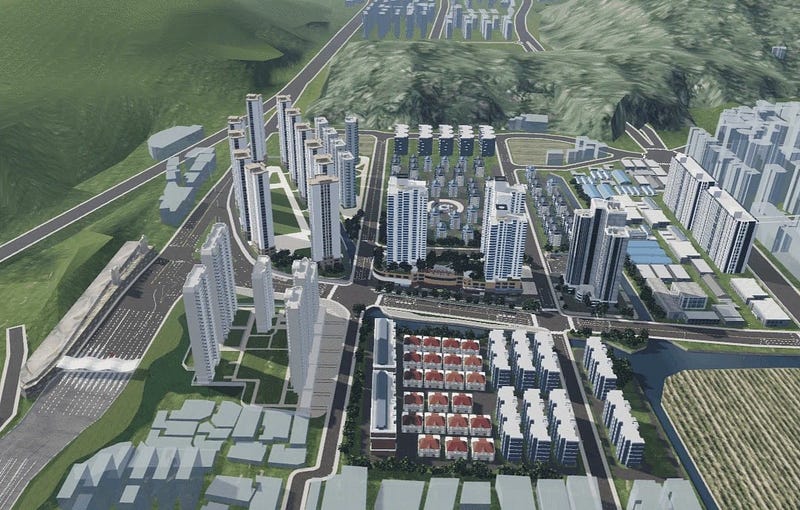
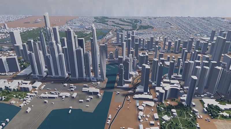
GIS technology, with its spatial analysis capabilities, can conduct detailed analysis of the community’s land use, traffic flow, green coverage, etc. Wings Engine’s 3D scene technology creates a virtual three-dimensional environment, allowing planners and residents to understand the planning scheme more intuitively, enhancing the interactivity and transparency of the planning. In Japan’s community planning practice, GIS and 3D scene technology have been effectively integrated and used together.

2. Strategies to improve resident satisfaction
The ultimate goal of community planning and development is to improve resident satisfaction. According to research, community satisfaction is affected by many factors, including the community’s physical environment, service quality, participation opportunities, and community identity. Using GIS and 3D scene technology, we can better understand the needs and preferences of residents and design community spaces that better meet residents’ expectations.
Demand analysis: Collect geographic and demographic data of the community through GIS technology, and analyze residents’ needs and expectations in combination with resident questionnaires.
Scheme design: Use 3D scene technology to create a virtual model of the community, design different planning schemes, and conduct simulation displays.
Public participation: Through 3D scene technology, residents can intuitively understand the planning scheme and collect feedback and suggestions from residents.
Scheme optimization: According to residents’ feedback, adjust and optimize the planning scheme to ensure that the scheme can be supported by most residents.
Implementation and evaluation: Implement the planning scheme and regularly use GIS technology for monitoring and evaluation to ensure the achievement of planning goals.

3. Advantages and challenges of technology
The advantages of GIS and 3D scene technology in community planning and development are obvious. They provide an intuitive and interactive platform for residents to better participate in the construction of the community. However, the application of these technologies also faces challenges, such as data accuracy, technology popularity, and residents’ acceptance of new technologies.

Through the application of GIS and 3D scene technology, Japan’s community planning and development projects have not only improved the scientificity and democracy of planning, but also improved the quality of life and satisfaction of residents. In the future, with the further development and popularization of technology, this model is expected to be applied and developed in more communities around the world.
Subscribe to my newsletter
Read articles from Samuel M directly inside your inbox. Subscribe to the newsletter, and don't miss out.
Written by

Samuel M
Samuel M
Industrial designer, committed to sharing the most cutting-edge 3D creation tools and techniques to allow more people to experience the unlimited possibilities of creativity.