What GIS file formats does GISBox support? Free tiling feature explained
 GISBox
GISBox Official Teams: https://teams.live.com/l/invite/FEAr12sInvEVy4hFQE
Official Teams Group: https://teams.live.com/l/invite/FBAFp0pbqhqlpe1BQI
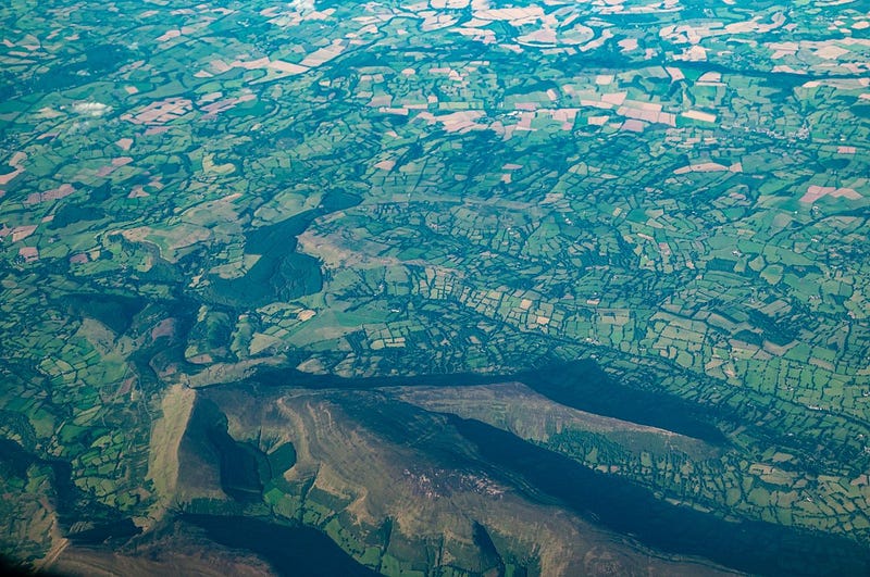
In the field of geographic information systems (GIS), the visualization of image and terrain data requires file format compatibility and efficient tile processing. GISBox is a high-performance and smart GIS data tile generation tool that supports a variety of mainstream GIS file formats, making it easy to realize fast tiling and web distribution of terrain and image data. In addition, GISBox provides basic tile generation functions completely free of charge, making it an ideal lightweight tool for many GIS users.
1. What GIS file formats does GISBox support for tile generation?
GISBox is designed specifically for processing terrain and image data, and can support a wide range of data formats. It is especially suitable for 3D visualization, fast display of web maps, and distribution of remote sensing images.
✅ Examples of supported formats:
Terrain data:
.tif / .tiff (elevation data in GeoTIFF format)
.dem (digital elevation model: SRTM, ASTER DEM, etc.)
→ Can be converted to Cesium Terrain format for 3D terrain visualization.
Image data:
.tif/.tiff (remote sensing image, ortho image, etc.)
.jpg/.png (with world file)
.img (ERDAS format)
.ecw/.sid (requires external library)
→ Can be converted to tile formats such as WMTS, TMS, XYZ, etc., making it ideal for web maps.
Automatic recognition of spatial reference information:
GISBox automatically recognizes coordinate system information (projection, ellipsoid, etc.) contained in the input data and processes it accurately. No need for users to set it manually.
Supported projections:
Mercator projection (Web Mercator)
Latitude-longitude projection (WGS84)
Optimized for WebGIS frameworks such as Cesium, Leaflet, and OpenLayers.
2. Features of GISBox’s free tile generation function
Easy to use for anyone: No complicated settings are required, and even beginners can use it immediately with intuitive GUI operations.
Supports batch processing: Tiles multiple files at once, greatly improving work efficiency.
Automatic service publishing: Just check the box to automatically publish the service after generating tiles and generate a URL.
Basic functions are completely free: Ideal for educational purposes, research, and small-scale projects.

3. Main usage scenarios
Visualization of 3D urban terrain (urban planning, digital twin)
Web map distribution of remote sensing images
Disaster monitoring maps, agricultural remote sensing, smart transportation systems, etc.
Summary
GISBox is a free GIS tile generation tool that has strong file format compatibility and flexible output formats, allowing you to quickly process and visualize terrain and image data. GIS engineers, researchers, students, and beginners alike can easily generate map tiles for the web and visualize and share data.
Download GISBox now and start your GIS data visualization project!
Subscribe to my newsletter
Read articles from GISBox directly inside your inbox. Subscribe to the newsletter, and don't miss out.
Written by
GISBox
GISBox
Free Local Server · Free Self-Hosted · Offline Data For Cesium Unity GISBox is a geographic information system (GIS) software. GISBox offers tools for editing, converting, and publishing geospatial imagery, terrain data, and 3D models.